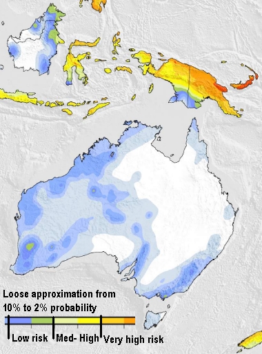
Australia
Australia updated their map in 2018. They may not have a web tool, but their seismic hazard map is online.

5053127163
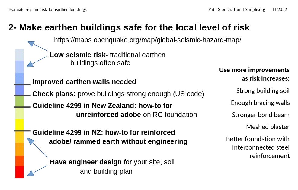
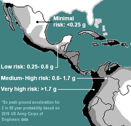
Scientists update risk maps when they get more information. Most recent is best. If you can't find accurate local maps, check out our estimated risk maps. Our measurement units match those used in New Zealand for their unique standards-based earthen building code.
Download 170 kb map pdfs below:

Australia updated their map in 2018. They may not have a web tool, but their seismic hazard map is online.
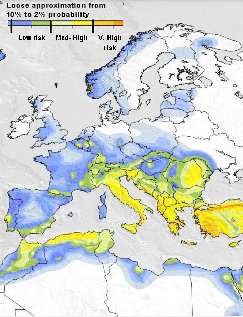
The EFHR's online hazard data access allows you to zoom in on a map. Type latitude and longitude, select SA 0.2, POE 2% in 50, rock, arithmetic. Turn on layers for roads.
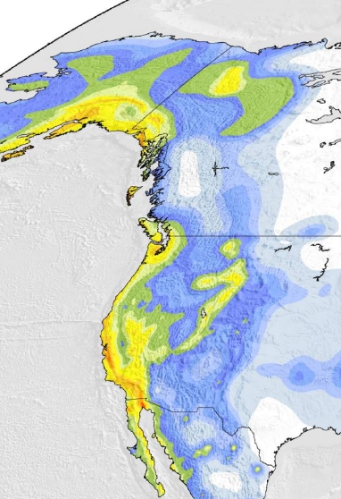
Use ATC's hazards by location app. After the address, choose seismic, and specify risk category II (unless it's a church or school) and site class D (hard ground unless it's very soft or bedrock). Look for the Ss number.
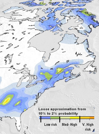
Use Natural Resources Canada's seismic hazard values tool. Type your latitude and longitude in, then click submit. Scroll down to see the top table (2%/50 yrs), then click on the 3rd column to the right (Sa 0.2).
